

Take a Peak: Hiking trails that offer Chippewa Valley high points
Nealy Corcoran, photos by Taylor Smith |
As we spring into summer, slip on those hiking boots and head to the trail. Chippewa Valley is home to an abundance of meandering hiking trails that travel through the scenic beauty of northwestern Wisconsin. Whether you’re planning an all-day adventure or you’re just looking for a day hike and a picnic in the city, here are a few peaks of the Valley to enjoy!
Hoffman Hills State Recreation Area
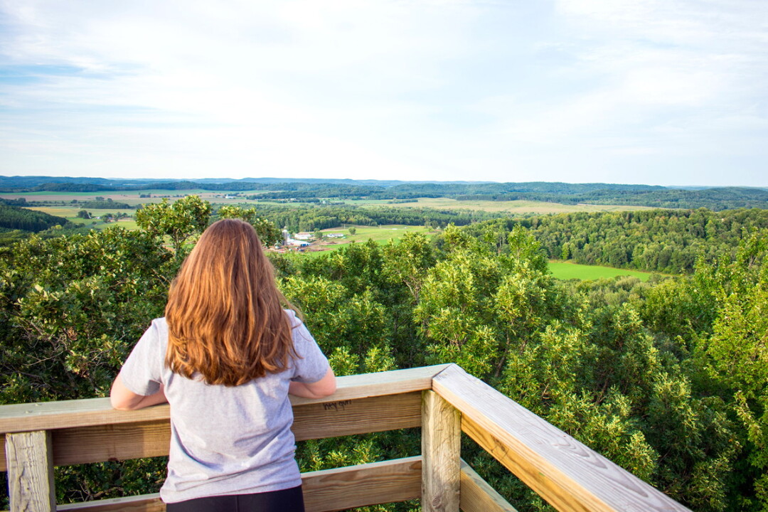
With 707 acres of preserved and restored wooded hills, wetlands, and prairies, Hoffman Hills is not only a recreation destination, but a beautiful escape! Hoffman Hills offers lots of friendly hills and well-groomed hiking trails for people of all ages and activity levels. Follow an approximately 1-mile-long trail – where you gradually gain about 370 feet – to a 60-foot-high observation tower, considered one of the highest points in Dunn County. The observation tower stands about 500 feet above Menomonie, featuring some of the most breathtaking views of the surrounding countryside.
Hoffman Hills State Recreation Area •740th Street, Menomonie • (715) 232-1242 • dnr.wi.gov/topic/parks/name/hoffmanhills
Ice Age National Scenic Trail – Moon Ridge Trail Area
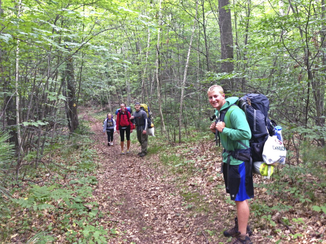
Chippewa County Forest consists of 33,000 acres and features more than 18 miles of the Ice Age National Scenic Trail. The Ice Age Trail is a thousand-mile footpath – entirely within Wisconsin – that travels through 31 counties and is one of only 11 National Scenic Trails. Since the reserve is more than 800 miles long, it was divided into nine units. Northwest Wisconsin is home the eighth reserve unit, known as the Chippewa Moraine Unit. This scenic segment of the trail travels through Wisconsin’s glacial past and features rushing creeks, red and white pines, more than 21 lakes, and three beaver ponds.
As the trail twists and turns, it winds its way to the Chippewa County Forest, where the Ice Age Trail connects to Moon Ridge Trail. The Moon Ridge Trail area makes up about 7,800 acres of the Chippewa County Forest. In the low areas, this part of the trail treks through ponds, swamps, and wetlands. Surrounded by sugar maple and white ash trees, there are also several flowages that provide habitat for wildlife. At the trail’s junction with Highway E it heads past Old Baldy Mountain which stands at about 175 feet, making it the largest kame (an irregularly shaped mound, hill, or a glacial landform) in the Chippewa Moraine Unit of the Ice Age Trail.
According to the Ice Age National Scenic Trail Alliance, more than 1 million people use the trail each year to hike, backpack, and enjoy all the recreational opportunities the trail has to offer.
To find maps of the Moon Ridge Trail and the portions of the Ice Age Trail in Chippewa County, visit tinyurl.com/ChippewaCoTrails.
Mt. Simon Park
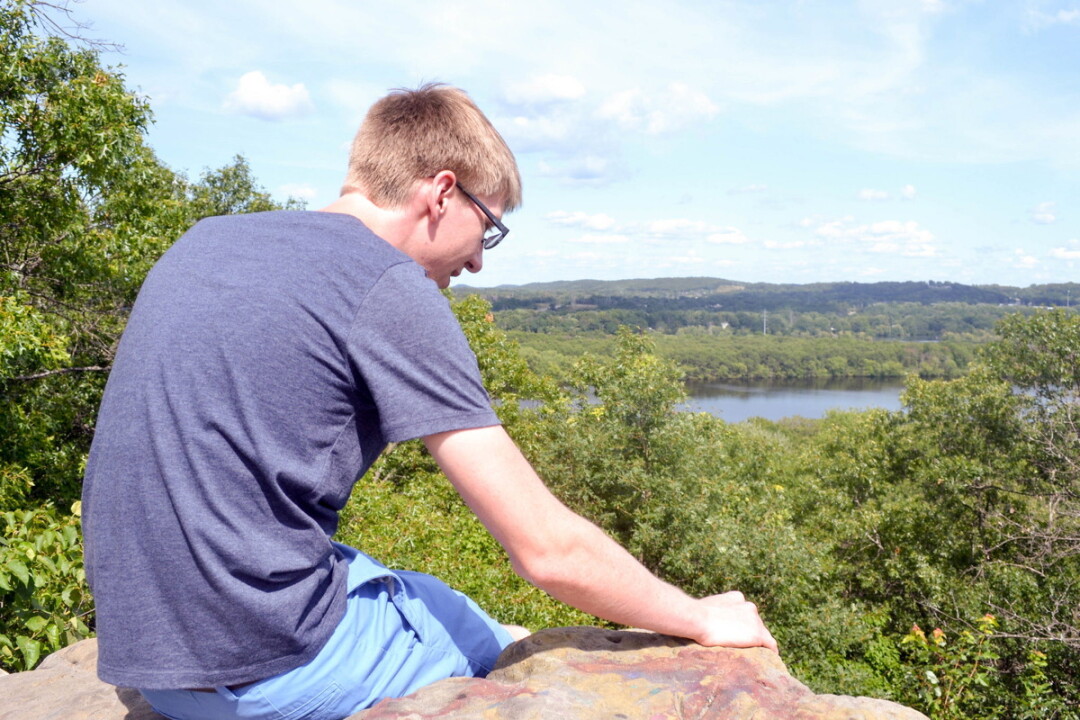
For an easy day in the city, Mt. Simon Park offers a variety of outdoor activities. With a nine-hole disc golf course, a boat landing, a playground, a volleyball court, gazebos, and a hillside pavilion, the park has a little somethin’ for everyone. Mt. Simon rock is also one of the highest points in Eau Claire. The hard sandstone rock reaches about 30 feet. The east side of the rock is primarily used for climbing, while the west side offers an easy hike – approximately 100 yards – to the top and provides beautiful views of Eau Claire.
Mt. Simon Park • 1100 Addison St., Eau Claire • (715) 839-5039
To explore Volume One’s interactive guide to 25 hiking trails in the Chippewa Valley, visit VolumeOne.org/hiking.

